COE
Center for Remote Sensing and Geographic Information System

National Institute of Hydrology (NIH), Roorkee, a premier institute under the Ministry of Water Resources, River Development & Ganga Rejuvenation (MoWR, RD & GR) was established in 1978 with the objective of undertaking, aiding, promoting and coordinating systematic and scientific work in the area of Ground and Surface Water Hydrology, Remote Sensing, Geographic Information System (GIS), Environmental Hydrology, Water Quality, and of Water Resources Engineering and Management.
ABES Institute of Technology (ABESIT), Ghaziabad established a Center for Remote Sensing and Geographic Information System (GIS) for carrying out studies/projects using Remote Sensing and GIS techniques for the estimation of irrigation water requirement, soil erosion, and reservoir sedimentation, watershed management, rainfall-runoff modeling, flood zone mapping, and surface water modeling in collaboration with National Institute of Hydrology (NIH), Roorkee.
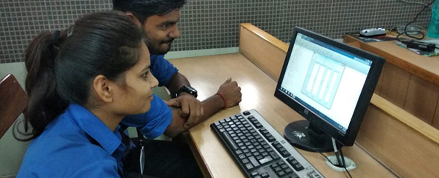
Recently, a group of 5 final year Civil Engineering students of ABESIT visited and stayed for a week at NIH to carry out their final year project of Flood Zone Mapping under the expert guidance of Prof. Dr. Sudhir Goyal, HOD Civil Engineering Department, ABESIT and Dr. Sanjay Jain, Scientist G, NIH. More similar projects are being developed by the students and faculty of ABESIT in collaboration with the scientists of NIH